
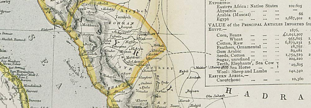
Antique Map: ARABIA Deba/Dubai Abothubi/Abu Dhabi Katar/Qatar Grane/Kuwait. LETTS. Title: 'Arabia, Egypt, Nubia, and Abyssinia'. Type: Antique colour atlas map. Date of printing: 1883. Size: 36.5 x 43.0cm, 14.5 x 17 inches (Large); Please note that this is a folding map., 1600 sq cm. This item is folding. Artist, cartographer or engraver: Published by Letts & Co. Most of the plates used for this atlas were original engraved for the SDUK atlas in the mid nineteenth century. The plates were later sold to Thomas Letts, and subsequently to Mason & Payne. Condition: Good; suitable for framing. However, please note: The image shown may have been taken from a different example of this map than that which is offered for sale. The map you will receive is in good condition but there may be minor variations in the condition from that shown in the image. Please check the scan for any blemishes prior to making your purchase. Verso: There is nothing printed on the reverse side, which is plain. Provenance: "Letts's Popular Atlas", published by Letts, son & Co. Limited, 33 King William Street, London Bridge, EC. Subject categories: Arabia LETTS.
Trustpilot
2 weeks ago
1 month ago
