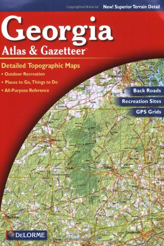
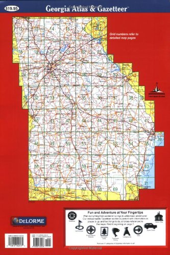
Full description not available
T**E
Useless for my purposes (exploring the north georgia mountains)
Sorely lacking in detail, including local roads or road names. Useless for my purposes (exploring the north georgia mountains). A much better product is the National Geographic Trails Illustrated Map series. The only use I can see for the DeLorme is for cross-state trips using nothing but main roads.
B**N
Worst Delorme atlas I have bought by far...
And I have bought around 20 over the years. Scale is too small, and printing is not sharp compared to their other gazetteers, meaning that details like contour lines are hard to read. Not a good effort. Very disappointed!
G**R
Worst map book I've ever purchased.
Worst map book I've ever purchased! No detail, worthless around any of the larger towns or cities. Little detail and very difficult to read. Only has major roads. My U.S. Atlas has more detail. Save your money. I'm returning the copy I've purchased.
J**N
Not detailed enough anymore
I've long used the Atlases and Gazetteers made by this company. This map simple wasn't of the same quality. It was very difficult to read (quite disappointing since many will use in the car) and the detail that was the whole reason for getting this maps in the first place simply wasn't there. I used to always get these maps for navigating backcountry roads but its simply not useful for this purpose anymore.
M**I
Great help when the internet lacks
Great tool for finding local roads and county borders that you would not otherwise see on an internet web search of the same area.The maps are very well organized and easy and quick to find even in a race style quick fashion. With a quick county/city look up page, this is a must for the DTT rally!If you found this review helpful, please click the "I found this review helpful" button.
R**B
Georgia Atlas & Gazetteer
I got the sixth edition in 2016 and unlike some other reviewers I can not find anything wrong with it. Good resolution and good detail on the maps.Country roads are named as well as small lakes, rivers, streams and any other details that are in the legend.
G**Y
WARNING! Low resolution maps and printing; NOT comparable to other Delorme editions.
I've used Delorme atlases for years, and just got the latest TN and GA copies since my copies were 20+ years old. Both have the updates I was looking for, and the new TN atlas is fine. But the detail and resolution of the GA atlas is poor -- nothing like the other Delorme atlases I have. I'll keep it, since it's still better than Google Maps when my cell phone has no reception, but it sucks to not have a better option.I rate this as Delorme trading on their reputation to sell an inferior product.
K**W
good map
ITs nice to have an actual map for when you don't have power for your devices. this is great in the topographic aspect You can see the rivers and streams clearly, but a little harder to see hills unless you are in the mountains. the book itself is bigger than it looks which is good for being able to see more things without looking very hard but bad due to it not being able to throw in a glove box or a book bag when hiking. the roads are good for what you get is worth it if you need one.
Trustpilot
2 months ago
2 days ago
