
DOWNLOAD THE APP


Customer Support

Desert Online General Trading LLC
Warehouse # 7, 4th Street, Umm Ramool, Dubai, 30183, Dubai
DOWNLOAD THE APP
Customer Support
Desert Online General Trading LLC
Warehouse # 7, 4th Street, Umm Ramool, Dubai, 30183, Dubai
📏 Measure smarter, not harder — own the land with precision!
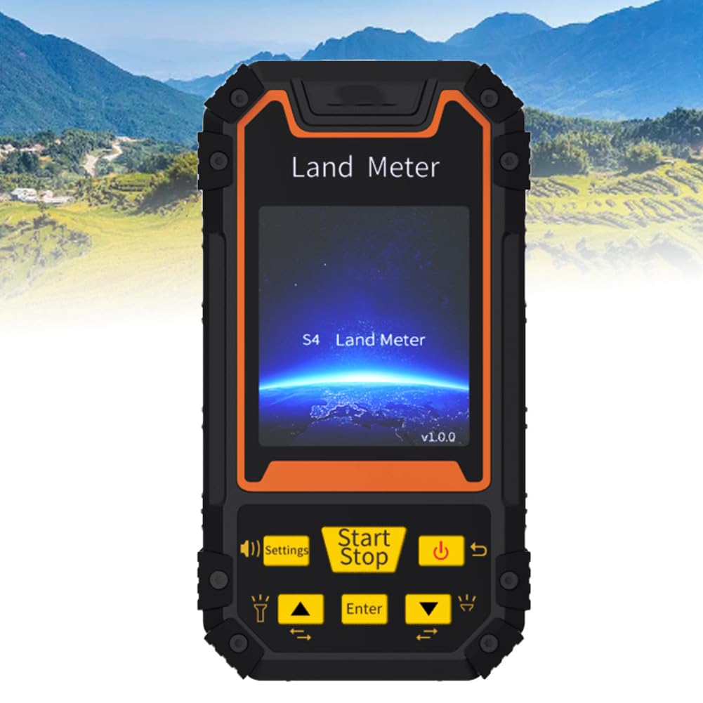
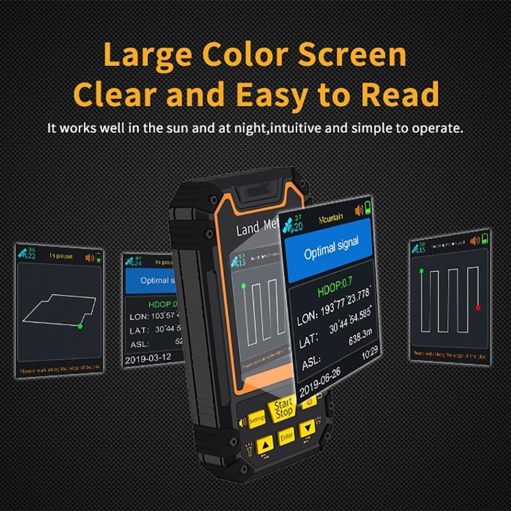
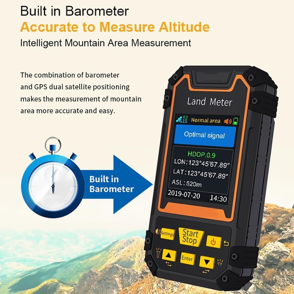
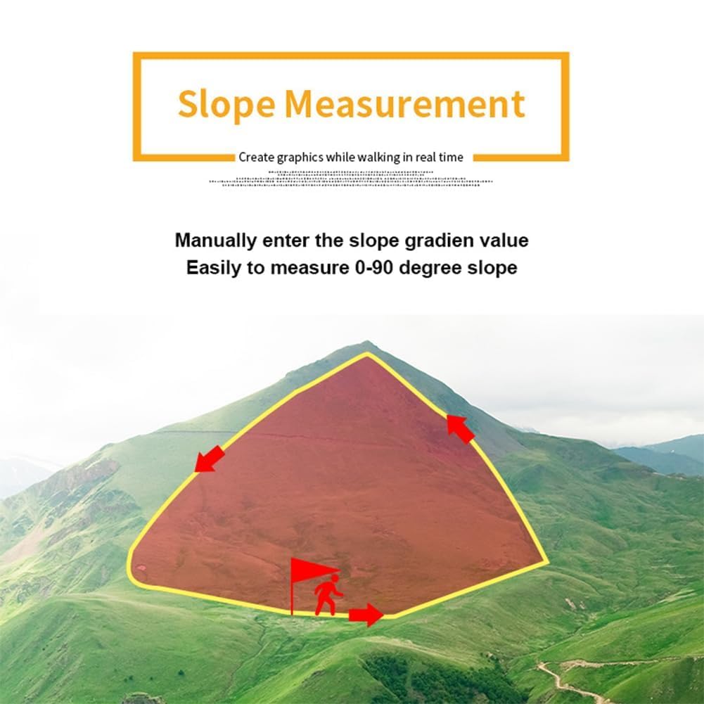
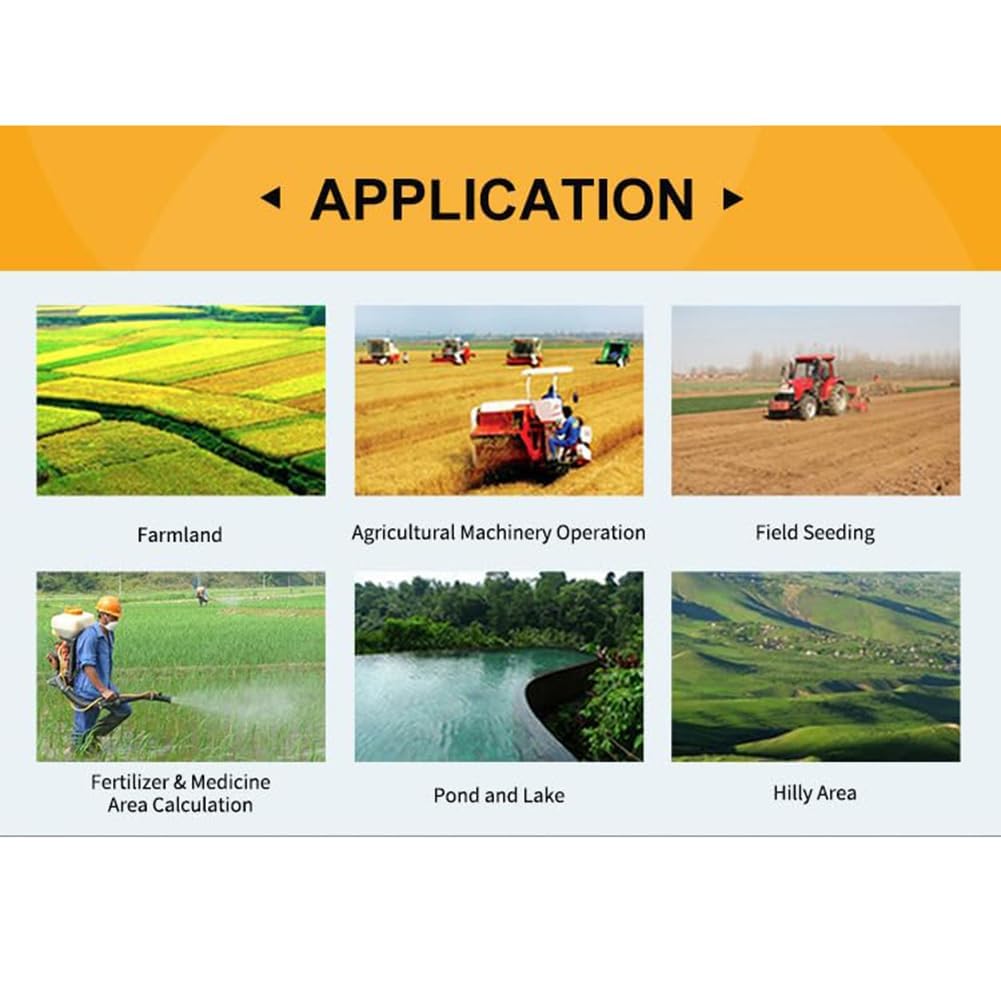
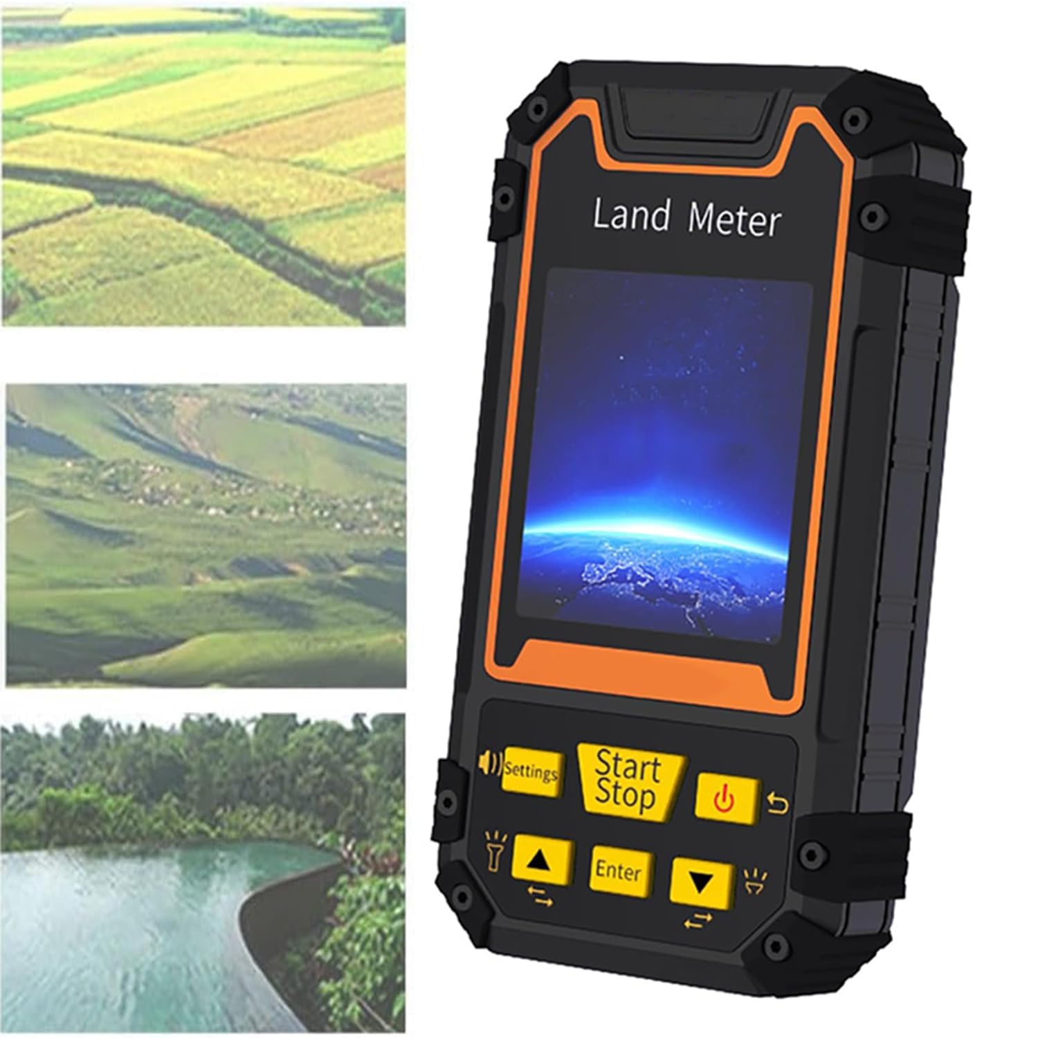
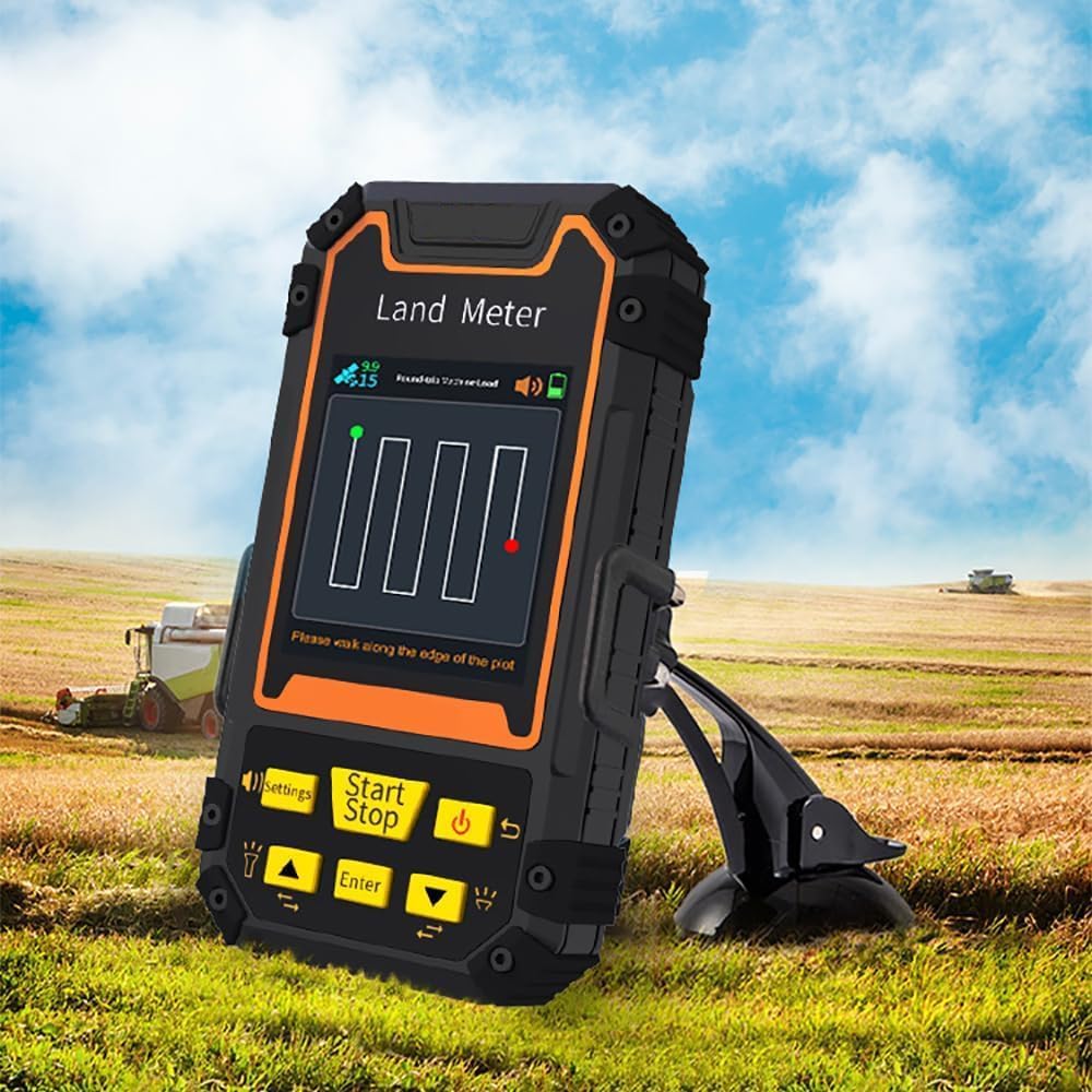
The GPS Land Meter is a rugged, handheld surveying tool featuring a high-sensitivity GNSS chip compatible with multiple satellite systems (GPS, GLONASS, SBAS, BeiDou). It boasts a 2.8-inch backlit color LCD for clear visibility, a rotatable user interface for ease of use, and the capacity to store 199 historical measurements. Designed for professionals in agriculture, forestry, and land management, it delivers reliable area, slope, and distance measurements in challenging environments.
Trustpilot
1 month ago
3 days ago
2 months ago
3 weeks ago